Fairmont Hot Springs is located in the East Kootenay region of the southeastern part of British Columbia, Canada. It is situated in the Columbia Valley between the Purcell Mountains to the west and the Rocky Mountains to the east. The nearest town is Invermere, which is 27 km north and about 20 minutes drive.
To get to Fairmont Hot Springs, BC, you have a few options depending on your starting point and mode of transportation:
By Car:
- If you’re coming from Calgary, Alberta, you would typically take the Trans-Canada Highway (Highway 1) westbound towards British Columbia.
- Continue on Highway 1 past Canmore and Banff until you reach Highway 93S halfway between Banff and Lake Louise. Watch for this turn-off and overpass as it is easy to miss.
- Take Highway 93S southbound towards Radium Hot Springs and Invermere.
- At Radium Hot Springs turn south (left at the roundabout) on Hwy 93/95 and continue past Invermere until you reach Fairmont Hot Springs.
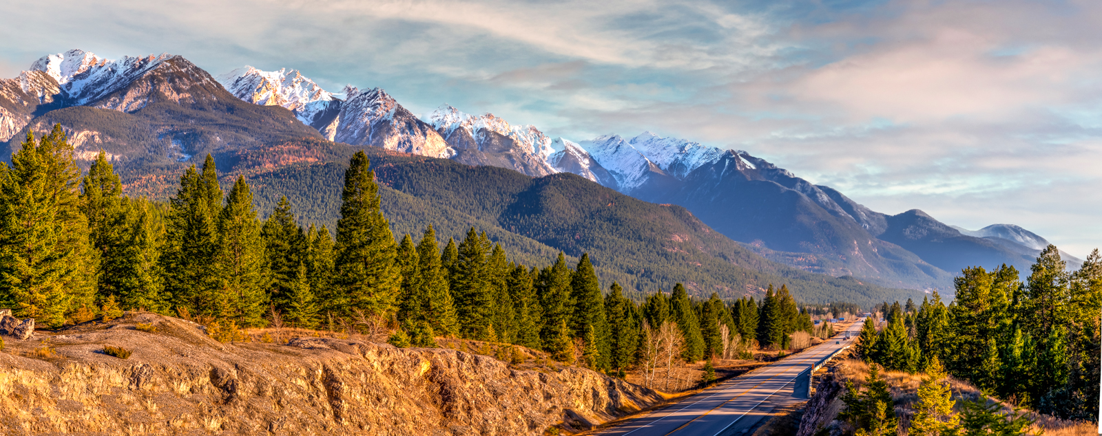
- Fairmont Hot Springs is approximately a 3 to 4-hour drive from Calgary, depending on traffic and weather conditions. It is a very scenic drive through the Canadian Rockies with many places to stop along the way.
By Air:
- The nearest major airport to Fairmont Hot Springs is the Calgary International Airport (YYC) in Calgary, Alberta.
- From Calgary, you can rent a car and follow the driving directions mentioned above.
- Alternatively, you can check for smaller regional airports closer to Fairmont Hot Springs, such as the Canadian Rockies International Airport (YXC) in Cranbrook, British Columbia. From there, you would also need to rent a car and drive to Fairmont Hot Springs.
Driving Time and Distance From Major Centers In Western Canada and USA
Calgary, Alberta: Approximately 275 kilometers (171 miles) southwest. Driving time is around 3 to 3.5 hours.
Edmonton, Alberta: Approximately 600 kilometers (373 miles) northwest. Driving time is around 7 to 8 hours.
Vancouver, British Columbia: Approximately 785 kilometers (488 miles) west. Driving time is around 9 to 10 hours.
Seattle, Washington: Approximately 670 kilometers (416 miles) southwest. Driving time is around 8 to 9 hours, depending on the route and traffic conditions.
Spokane, Washington: Approximately 470 kilometers (292 miles) south. Driving time is around 5 to 6 hours.
Portland, Oregon: Approximately 820 kilometers (510 miles) southwest. Driving time is around 9 to 10 hours.
Please note that these distances and driving times are approximate and can vary based on the specific route taken and current road conditions.